Abraveses Parish Council
- Parish council chair: Fernando Mendes
- Address: Avenida Aquilino Ribeiro, n.º 125, 3515-114 Abraveses
- Office hours: Monday to Friday, 9:00-12:30 and 14:00-17:30.
- Executive hours: Friday, 17:30-19:30.

Find services, schools and places to visit in Abraveses, the parish of the aerodrome, north of the city.
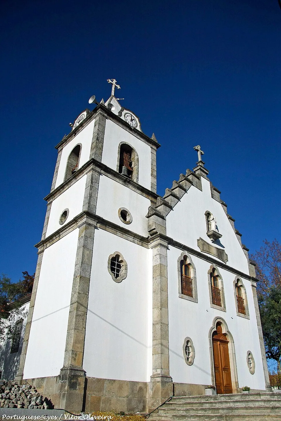
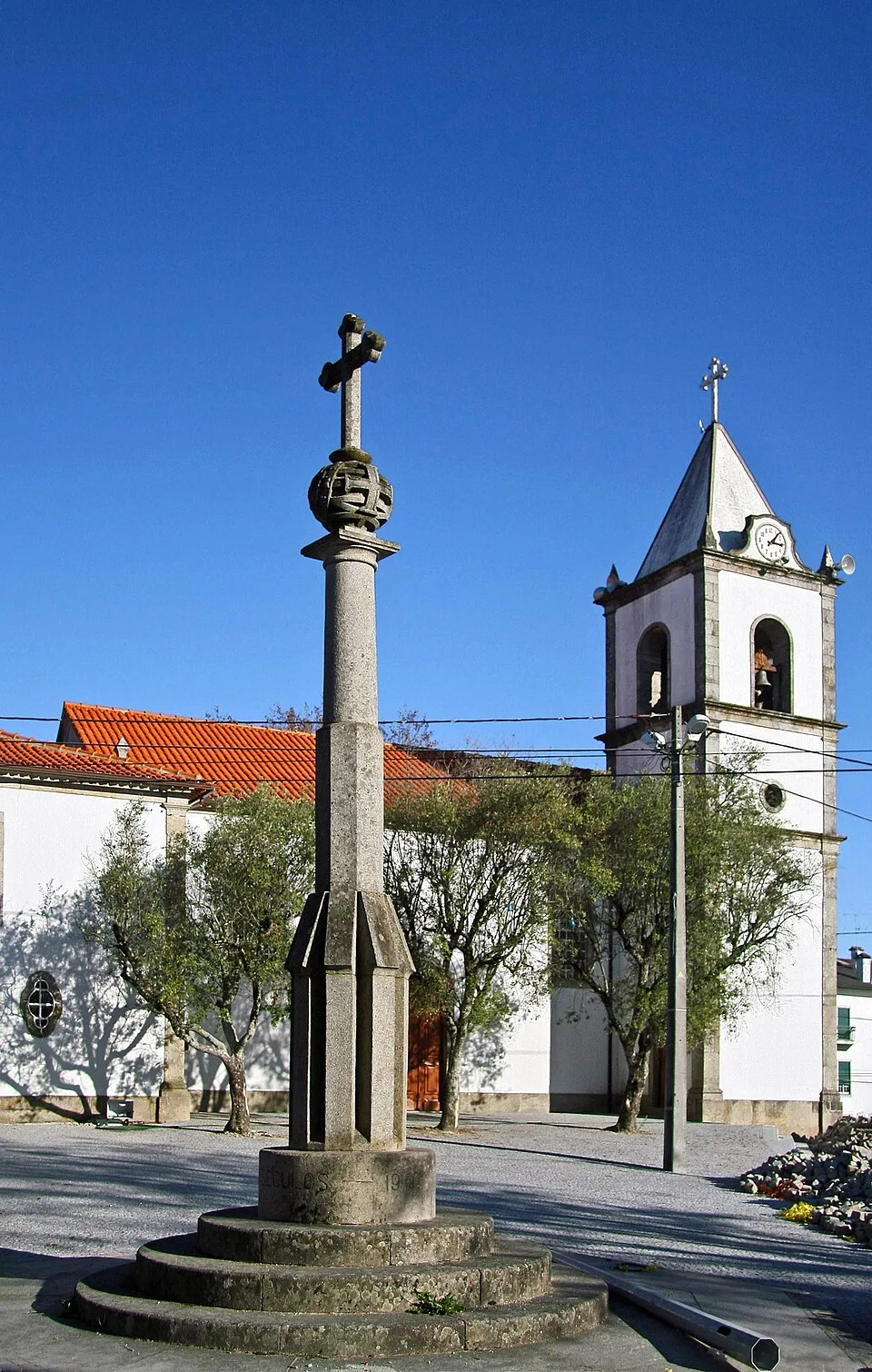
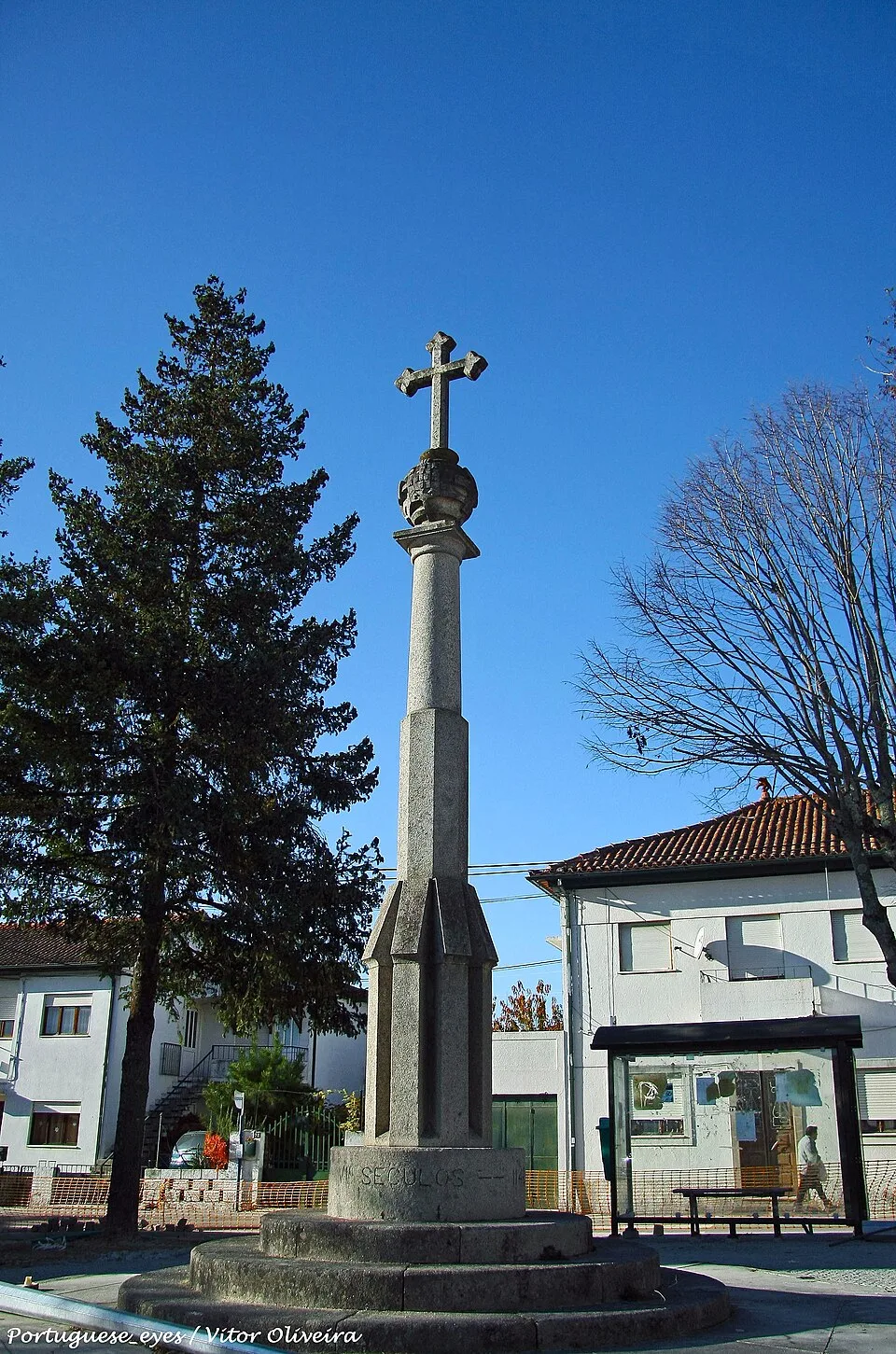
1 / 4
Chair, address, opening hours and contacts for certificates and voter registration.
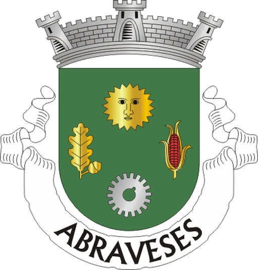
Contacts and opening hours published by Viseu City Council and by the the parish council’s official website. Chair elected in the October 2025 local elections. Confirm before you travel. Coat of arms: Sérgio Horta, CC BY-SA, Wikimedia Commons.
Choose what you are looking for to go to the right section.
Schools, health centre, GNR and good road links to the rest of the municipality.
GNR and pharmacy within the parish; health centre nearby.
Parish church, aerodrome and neighbourhood shops, with Monte de Santa Luzia on the edge of Campo.
Six MUV lines link Abraveses to the centre; two pass the aerodrome.
From the parish council offices, on Avenida Aquilino Ribeiro, to the Rossio.
Check a walking route before setting off. Distance and time depend on your starting point; check pavements, gradients and crossings. The driving estimate below does not describe the walking route.
About 3,6 km and 4 minutes, without traffic, along Avenida Aquilino Ribeiro. The City Council highlights the good access to the A24 and A25.
Six MUV routes (5, 6, 15, 16, 17 and 18) link Abraveses to the centre; confirm direction and timetable before leaving.
Distance and driving time calculated by real route (OSRM/OpenStreetMap) between the parish council offices and the Rossio; approximate, traffic not taken into account. Confirm the route before leaving.
A parish with town status since 1997 and a history of its own since 1890.
What sets this parish apart from the other 24 in the municipality.
Abraveses became an independent parish on 30 November 1890 and was raised to the status of town by Law no. 87/97 of 24 July 1997. Its 12,23 km² make up the third most populous parish in the municipality, after the Parish of Viseu and Rio de Loba.
Between 2011 and 2021, the population fell from 8,539 to 8,350, a drop of 2.2%. Viseu parish gained residents over the same period.
The Aeródromo Municipal de Viseu is in Abraveses: «a privileged gateway to the municipality», according to the City Council, which also highlights access to the A24 and A25.
There are two accounts of the name “Abraveses”, with no primary source settling which is correct. One links it to local bravery in resisting Rome; the other to a gate in the wall that “opened sometimes”, or “Abras Vezes”.
From Largo do Arraial to the villages around it.
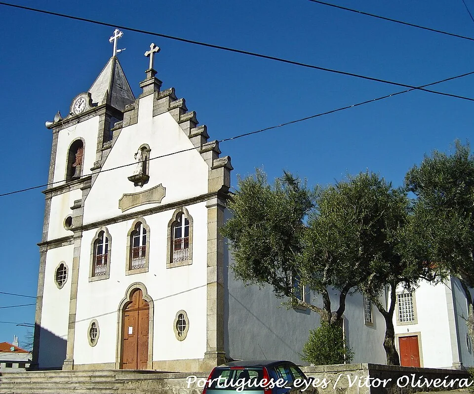
The parish council and the Igreja Matriz, in the historic centre of Abraveses.
Pingo Doce, hôma, Shell, the kindergarten and Escola Básica de Pascoal.
Settlement east of the town, with Escola Básica de Póvoa de Abraveses.
Residential neighbourhood with mini-markets and a private nursery.
Residential area still under construction, identified by the City Council as the parish's expansion area.
Population and change: INE, 2011 and 2021 Censuses, and Wikipedia. Area: CAOP 2025, Direção-Geral do Território. Town status: Abraveses Parish Council. Areas: Viseu City Council and addresses already confirmed on this page. Accessed on 18 September 2026.
Pace, noise, traffic and services for anyone choosing a place to live.
In 12.23 km² live 8,350 people (682.7 inhab./km²). Between 2011 and 2021 it lost population (−2.2%). A town since 1997 and the third most populous parish. The Câmara describes a quiet place about 3 km from the city, with its own shops and services. By day there are schools, the GNR and the EN16. At night it has the pace of a residential town: Pascoal, Santo Estêvão and Largo do Arraial do not have the café-terrace circuit of Rua Direita.
Before walking to Rossio, check the route, pavements and gradients. Six MUV lines (5, 6, 15, 16, 17 and 18) connect Abraveses to the centre. Line 6 serves Póvoa de Abraveses, and Lines 16 and 17 pass the airfield. Since 1 September 2026, municipality residents aged 24 or over can travel free on MUV with the Passe Residente Viseu.
The City Council points to the A24 and A25 motorways and the nearby municipal aerodrome as the municipality's gateway. The EN16 crosses the parish by the GNR Comando Territorial. Bairro de Santa Rita is expanding, as identified by the local authority.
Pingo Doce, hôma and other supermarkets in the parish have their own car parks. On Avenida Aquilino Ribeiro and Largo do Arraial you park on the street. There is no residents' permit zone in this town.
There are restaurants and cafés in the parish, open at mealtimes. No cluster of street bars is documented. The City Council describes it as tranquil despite being close to the city.
The parish council office is on Avenida Aquilino Ribeiro. The GNR Territorial Command is on Avenida Capitão Amadeu Gomes de Figueiredo. Confirm your primary healthcare unit and current contact details with ULS Viseu Dão-Lafões. The Viseu Norte school group is based at Escola Básica Dr. Azeredo Perdigão. The hospital and Loja de Cidadão are in the parish of Viseu.
The City Council has completed the redevelopment of Largo do Arraial, the town's central public space, next to the parish council and the parish church. Fontelo and Jardim Aquilino Ribeiro are in the Parish of Viseu.
The hospital, City Council, tax office, Loja de Cidadão and the bus terminal are in the Parish of Viseu. The EN16 and MUV lines 5, 6, 15, 16, 17 and 18 make that trip in a few minutes by car or bus.
Editorial portrait of 13 September 2026. Population: INE, 2021 Census. Area: CAOP 2025, Direção-Geral do Território. Transport: MUV; municipal profile: Viseu City Council. Schools: DGAE, 2025/26 network. It is not a representative survey.
Policing within the parish and healthcare just next door.
It is outside the parish, on Avenida Rei D. Duarte, 3500-417 Viseu, in the Parish of Viseu.
Responsible for rural parishes, road corridors and nature protection (SEPNA). On Avenida Capitão Amadeu Gomes de Figueiredo, 3515-113 Viseu.
In Bairro do Vale, plot 44, 3515-144. Usual hours Monday to Friday, 08:30 to 20:00, and Saturday 08:30 to 13:00.
Pharmacy verified using a point-in-polygon test against the CAOP GeoJSON boundary for Abraveses on 18 September 2026; address and phone number from Abraveses Parish Council directory. Opening hours: duty pharmacy listings; check before travelling. Health centre: Viseu City Council contacts. GNR: Abraveses Parish Council contacts.
The public network of the Agrupamento de Escolas Viseu Norte, based in Abraveses, and the social-sector nursery network.
There is no secondary school in Abraveses. The nearest is Viriato, in the Parish of Viseu, by the Cava, a few hundred metres from the boundary.
Escola Básica de Bigas, in the same school cluster, is in Lordosa. Course offer and enrolment rules change each school year.
A nursery is a social service, not schooling: places and subsidies come through Social Security.
Confirm catchment area, places and current provision directly with the school cluster.
State school network: DGAE, “School Clusters and Independent Schools Network 2025/26” (confirm programmes and education stages for 2026/27 with the school cluster), with addresses from Viseu Norte school cluster. Each address was checked using a point-in-polygon test against the CAOP GeoJSON boundary for Abraveses on 18 September 2026. Escola Secundária Viriato is in Viseu parish: the school's official page places it near the Cava. Nurseries: official list from the Junta de Freguesia de Abraveses. Confirm places and fee subsidies with each institution.
Abraveses lies north of the city; six MUV routes reach the parish.
All of them link Abraveses to the Rossio, with stops by the church, the hospital, the GNR and the post office. Line 6 serves Póvoa de Abraveses and Lines 16 and 17 pass the aerodrome. Lines 15, 17 and 18 continue through Pascoal and Campo. Check the direction and timetable before you leave.
Since 1 September 2026, residents of the municipality aged 24 or over travel free on MUV within the municipality. The card costs €5. Young people up to and including age 23 use the free national pass.
Routes confirmed in the current municipal timetables and on the parish council's official website. We do not copy departures and frequencies: they change with the school calendar and with network revisions.
Shopping, fuel, restaurants and heritage, all within the parish.
The highest rated on Google.

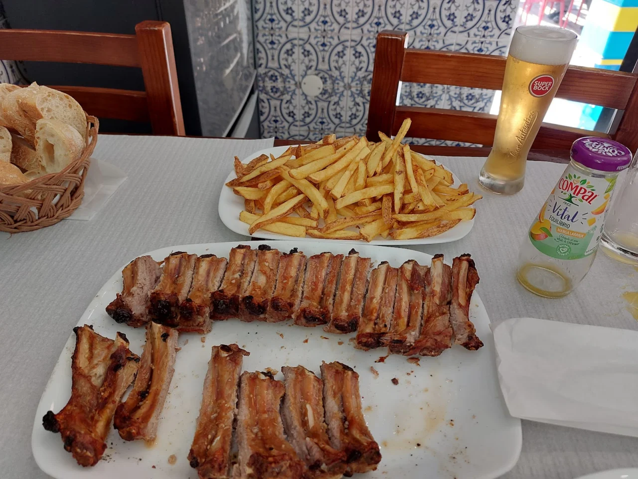

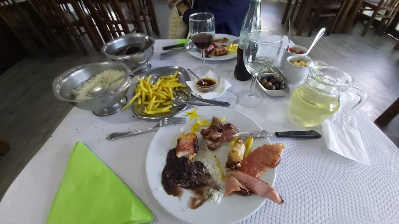
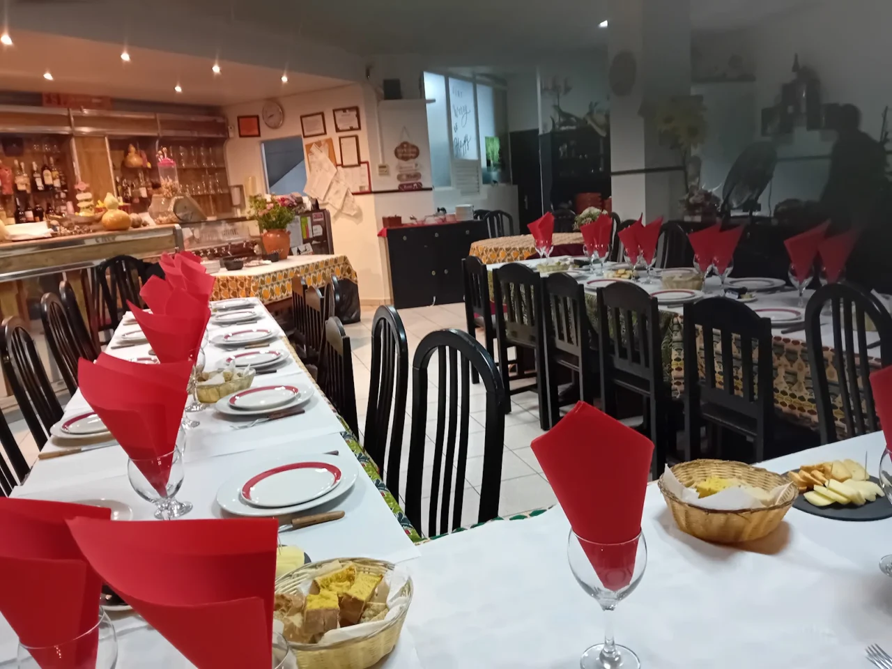
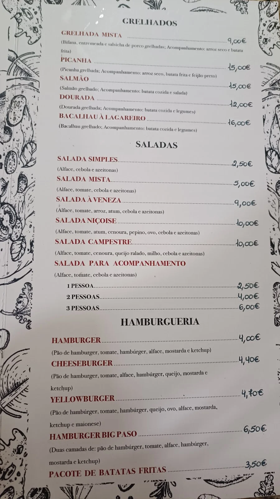

For a coffee or a cake in this parish.
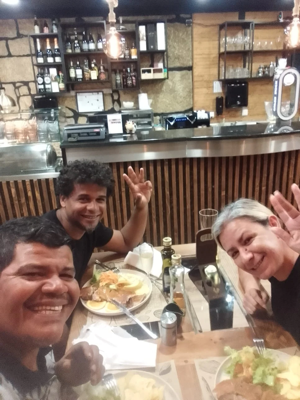
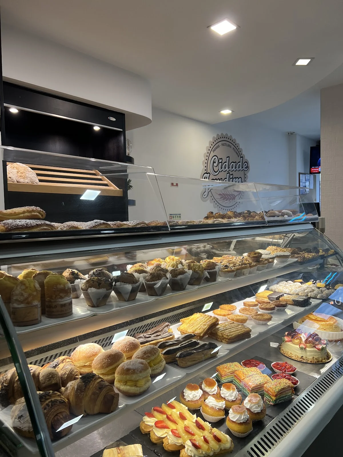
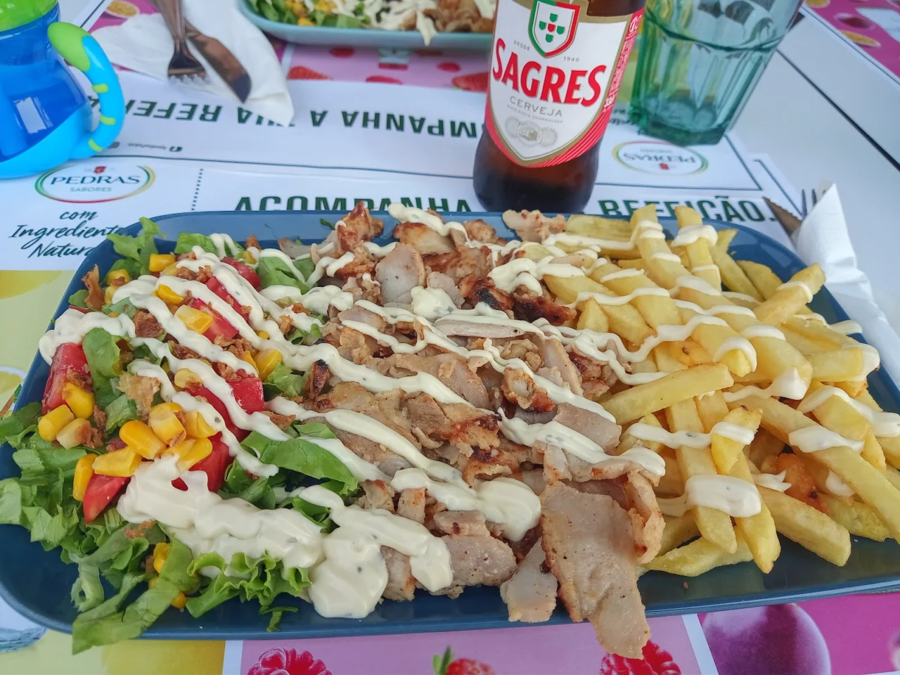
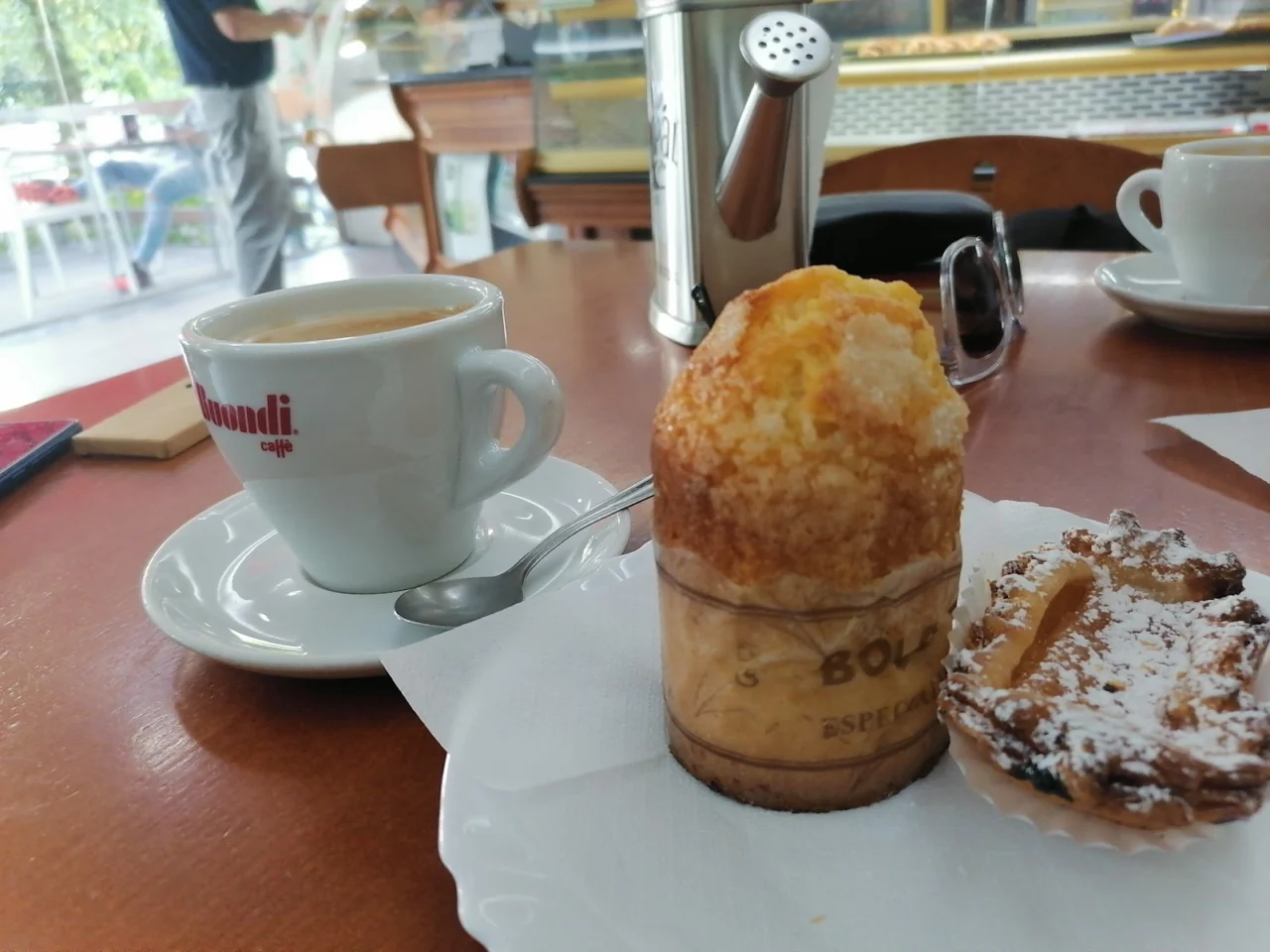
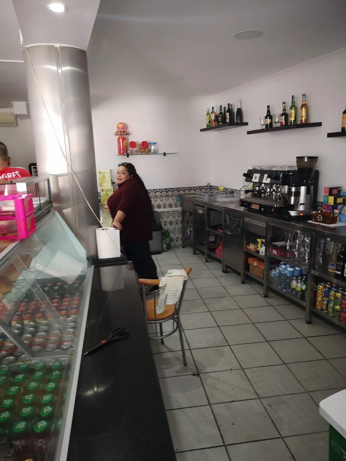
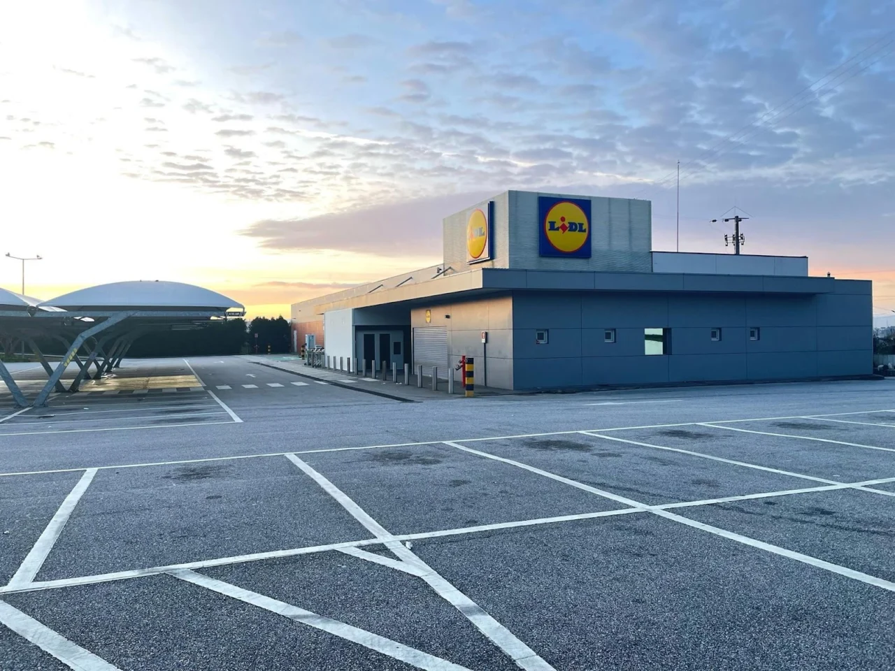
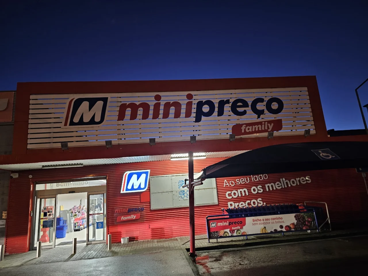
Where to shop in this parish.


Today's prices at the stations that report to DGEG; the others show only the address.
 Open 6:00-22:00
In Ribeira de Mide, open every day.
Preços comunicados à DGEG 19/10 at 10:05.

Avenida do Alto de Abraveses (EN16).
Preços comunicados à DGEG 19/10 at 09:20.
Avenida do Alto de Abraveses, 20. Independent brand, no prices on DGEG.
Avenida Tenente-Coronel Silva Simões, 156. Independent brand, no prices on DGEG.
Prices from the DGEG, the same data as /combustiveis/, updated automatically. The two Lubrialta stations do not report to DGEG, so only their addresses are listed.
The parish church, the aerodrome and, just next door, Monte de Santa Luzia.
The hill is shared with Abraveses, but the Quartz Museum and Castro de Santa Luzia sit in Campo's polygon. We do not list them as if they belonged to this parish.
On Largo do Arraial, the town's churchyard square. The baroque church replaced an older chapel.
The municipality's main air gateway, described by the City Council as a «privileged gateway».
Monte de Santa Luzia boundary: coordinates from Wikipedia and OpenStreetMap, checked against this page's CAOP polygon, the museum building and the hillfort fall in Campo. Parish church and aerodrome: Nominatim + the same polygon.
Two details that save unnecessary trips.
Counters and transport change their hours on public holidays, school holidays and festive seasons. Always use the official link or the phone.
If a service has closed or a useful place is missing, tell us which one and give the source.
Last editorial review: 18 September 2026. This is an independent Olá Viseu page; it does not represent the parish council or the City Council.
See the transport, local services and walking guides too.
Population and 2011-2021 change from INE (2021 Census); boundaries from CAOP 2025; parish council, schools, transport and shops confirmed with Viseu City Council, the parish councils and Google Maps.